Online since October of 2007
|
temperature: 41.4°F |
wind:  east
east0 Bft calm 0.0 mph |
rain: today 0.01 in |
humidity: 96% |
pressure: rising slowly 29.83 inHg |
- actual weather
- forecast

- precipitation
- yr-no radar
- advisories
- wind
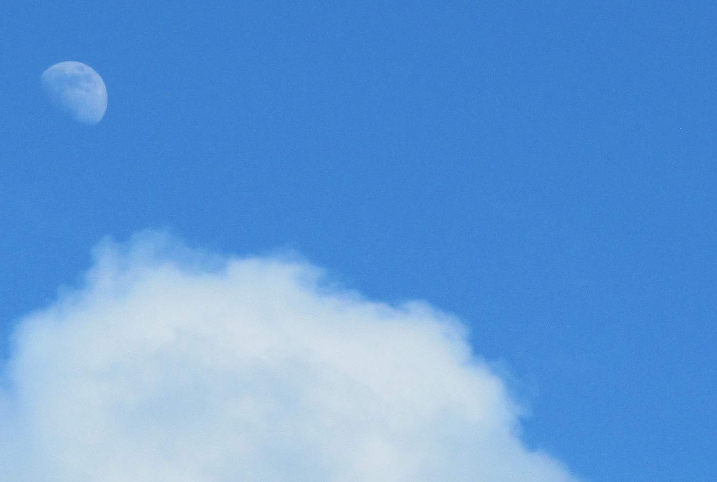
- sun/moon/earth
- customize
- more radar / maps
- more advisories
- more forecasts
- history / almanac
- live data
- mesonet
- other stuff
- demo extra pages
Bigbaywx


mount mesnard
visit our other weather sites:
Template documentation
and downloads
Information from NOAA Storm Prediction Center at this website
| More SPC info on this site: |
SPC Day 1 Outlook
Updates are issued at 0600 UTC, 1300 UTC, 1630 UTC, 2000 UTC, 0100 UTC - Current UTC time: May 3 2024 10:11 am
| Convective Tornado Hail Wind <= Move cursor over selections to display the selected graphic below. |
Day 2 |

Categorical Day 1 Outlook
000
ACUS01 KWNS 030557
SWODY1
SPC AC 030555

Day 1 Convective Outlook
NWS Storm Prediction Center Norman OK
1255 AM CDT Fri May 03 2024

Valid 031200Z - 041200Z

...THERE IS A SLIGHT RISK OF SEVERE THUNDERSTORMS ACROSS PORTIONS OF
WESTERN AND CENTRAL TEXAS...AND THE SOUTHERN NEBRASKA/KANSAS
VICINITY...

...SUMMARY...
Scattered strong to severe storms will be possible Friday afternoon
into early Saturday morning over parts of the central/southern Great
Plains, and over the central Plains, beginning late afternoon/early
evening.

...Synopsis...
An upper low initially over the northern Plains/southern portions of
the Canadian Prairie Provinces is forecast northeastward into/across
western Ontario with time.  As this occurs, a short-wave trough will
advance eastward across the northern Intermountain region through
the day, and emerge into the northern and central Plains through the
second half of the period.  Meanwhile, a much weaker disturbance is
forecast to move eastward along the southwestern U.S./Mexico border
and begin affecting the southern High Plains area by late afternoon
before moving across the southern Plains overnight.

At the surface, a developing cold front is forecast to shift
southeastward into the central Plains through late afternoon, and
then continue eastward/southeastward overnight.  Meanwhile, a
dryline will mix gradually eastward across the southern High Plains
through the afternoon.

...Portions of western Texas including the South Plains/Big
Country/Concho Valley...
As a very moist low-level airmass across western and central Texas
warms through the day, substantial destabilization will occur.
Mixed-layer CAPE values will likely reach 3000 to 4000 J/kg east the
dryline, which is expected to be mixing slowly eastward across the
South Plains and eastern portions of the Permian Basin near peak
heating.  By late afternoon, storm development is expected from the
Panhandle south to/across the Rio Grande, with the most numerous
storms expected within a zone extending from the South Plains to the
Big Country, and south across the Concho Valley.

While flow through the lower and middle troposphere will not be
particularly strong, veering winds with height, and ample high-level
flow, will support organized/rotating storms -- particularly given
the very favorable thermodynamic environment.  Very large hail will
likely occur with the strongest storms, along with locally damaging
gusts.  A tornado or two may also occur, though overall risk should
remain a bit tempered by somewhat modest low-level flow/shear.

Into the evening hours, some congealing/upscale growth of convection
is anticipated, which should gradually spread
eastward/east-southeastward toward/into central Texas -- accompanied
by risk for damaging winds and hail.

...Southern Nebraska southwestward across the western half of
Kansas...
Modest northward return of low-level moisture across Kansas is
expected to commence ahead of the developing cold front through the
afternoon.  Daytime heating of the moistening boundary layer will
permit 1000 to 1500 J/kg CAPE to evolve, leading to the development
of thunderstorms along the advancing front -- first across western
Nebraska, and then shifting southeastward with time.  Isolated
storms may also develop separately across eastern Colorado,
eventually congealing into a larger convective cluster/system that
is expected to move across Nebraska and Kansas through the evening.

With shear sufficient for supercells, but a rather deep mixed layer
anticipated, primary risk should be locally damaging wind gusts, as
well as hail in the 1 to 1.75" range with the strongest storms.
With upscale growth expected however, risk should favor damaging
wind gusts overall.  While storms will likely continue through the
overnight period, shifting into/across the Mid-Missouri Valley
region, severe threat should eventually diminish due to nocturnal
boundary-layer stabilization.

..Goss/Wendt.. 05/03/2024

$$
|

Day 3 
Day 4 
|


Largly based on original scripts from Ken True: saratoga-weather.org and Rick Curly: ricksturf.com
you find our weather info also at:
|
|
|
|
|


equipment we use:
weather-station |
weather-program |
|
|

2 user(s) online | contact us | valid HTML5 | valid CSS
never base important decisions on this or any weather information obtained from the internet
