
Online since October of 2007
|
temperature: 69.5°F |
wind:  north
north0 Bft calm 0.0 mph |
rain: today 0.00 in |
humidity: 74% |
pressure: steady 29.76 inHg |
- actual weather
- forecast

- precipitation
- yr-no radar
- advisories
- wind
- sun/moon/earth
- customize
- more radar / maps
- more advisories
- more forecasts
- history / almanac
- live data
- mesonet
- other stuff
- demo extra pages
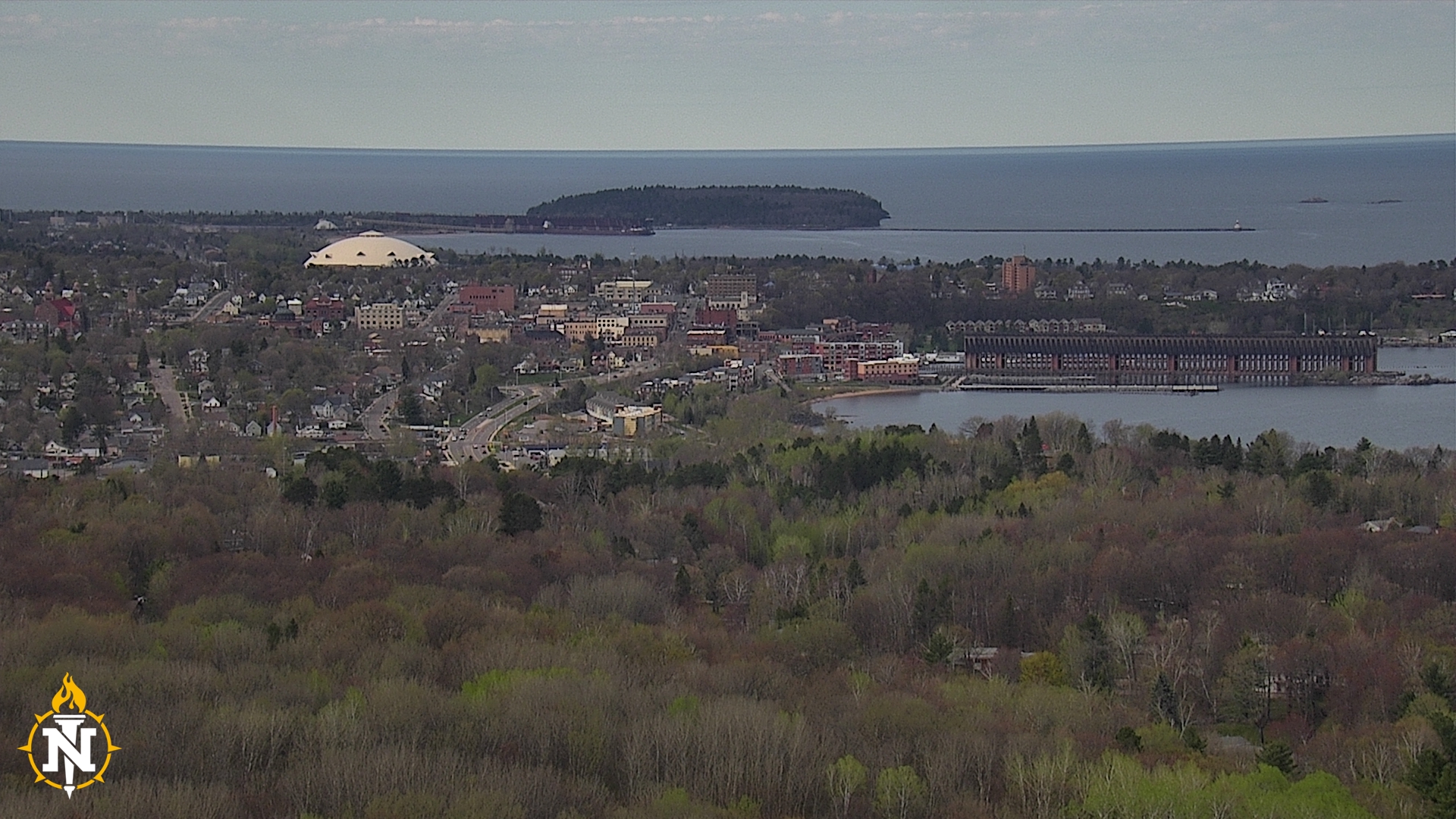
Bigbaywx


mount mesnard
visit our other weather sites:
Template documentation
and downloads
Information from NOAA Storm Prediction Center at this website
| More SPC info on this site: |
SPC Day 1 Outlook
Updates are issued at 0600 UTC, 1300 UTC, 1630 UTC, 2000 UTC, 0100 UTC - Current UTC time: Jul 2 2025 3:23 am
| Convective Tornado Hail Wind <= Move cursor over selections to display the selected graphic below. |
Day 2 |

Categorical Day 1 Outlook
|

Day 3 
Day 4 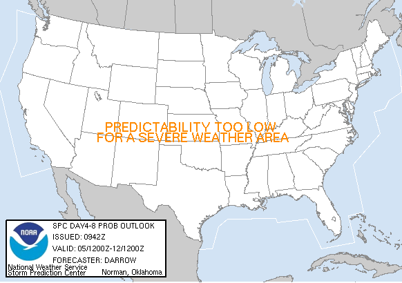
|


Largly based on original scripts from Ken True: saratoga-weather.org and Rick Curly: ricksturf.com
you find our weather info also at:
|
|
|
|
|


equipment we use:
weather-station |
weather-program |
|
|

1 user online | contact us | valid HTML5 | valid CSS
never base important decisions on this or any weather information obtained from the internet
