
Online since October of 2007
|
temperature: 62.3°F |
wind:  sse
sse1 Bft light air 4.0 mph |
rain: today 0.00 in |
humidity: 26% |
pressure: falling rapidly 29.99 inHg |
- actual weather
- forecast

- precipitation
- yr-no radar
- advisories
- wind
- sun/moon/earth
- customize
- more radar / maps
- more advisories
- more forecasts
- history / almanac
- live data
- mesonet
- other stuff
- demo extra pages
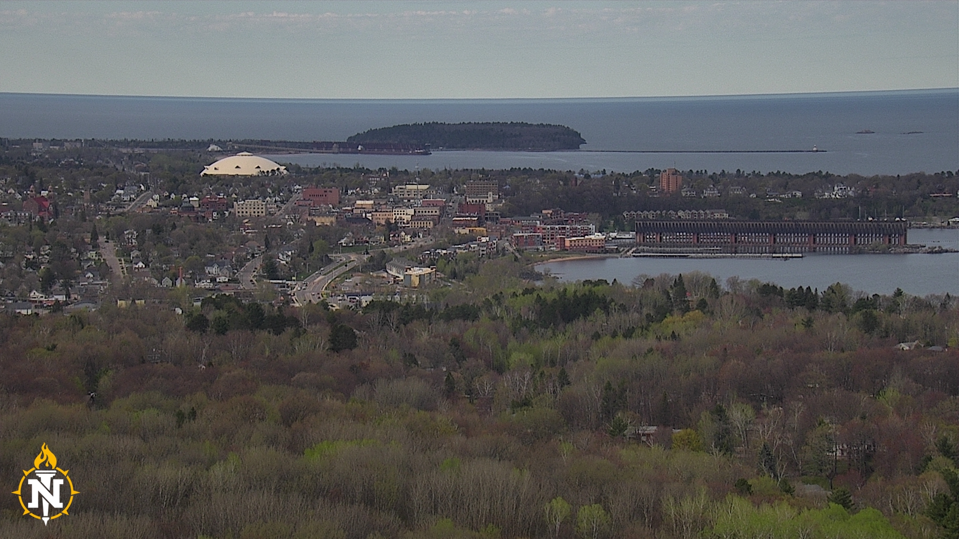
Bigbaywx


mount mesnard
visit our other weather sites:
Template documentation
and downloads
Information from NOAA Storm Prediction Center at this website
| More SPC info on this site: |
SPC Day 1 Outlook
Updates are issued at 0600 UTC, 1300 UTC, 1630 UTC, 2000 UTC, 0100 UTC - Current UTC time: Apr 26 2024 8:16 pm
| Convective Tornado Hail Wind <= Move cursor over selections to display the selected graphic below. |
Day 2 |

Categorical Day 1 Outlook
000
ACUS01 KWNS 262000
SWODY1
SPC AC 261958

Day 1 Convective Outlook
NWS Storm Prediction Center Norman OK
0258 PM CDT Fri Apr 26 2024

Valid 262000Z - 271200Z

...THERE IS AN ENHANCED RISK OF SEVERE THUNDERSTORMS ACROSS PARTS OF
THE CENTRAL PLAINS/MID MISSOURI VALLEY INTO THE OZARKS AND NORTHEAST
TEXAS...

...SUMMARY...
Tornadoes, including a couple of strong tornadoes, very large hail
(some greater than 2 inches in diameter), and wind damage remain
possible this afternoon/evening from eastern Kansas/Nebraska into
Iowa, western Missouri, eastern Oklahoma, western Arkansas, and
northeast Texas.

...20Z Update...
Adjustments have been made to the Enhanced and Slight Risks across
central/eastern NE into eastern KS/OK to account for latest
observational trends and short-term model guidance. Convection has
recently developed along the dryline across southeast KS, with
additional development possible across north-central into
east-central KS over the next couple of hours. Any supercells that
can persist across this region will pose a threat for very large
hail given steep mid-level lapse rates, strong deep-layer shear, and
sufficient instability. A threat for tornadoes, some strong, will
also exist for these areas with ample low-level shear present per
recent VWPs from KTWX/KEAX. For more details on the near-term severe
threat across this area, see Mesoscale Discussion 531.

A threat for strong tornadoes and large to very large hail continues
across parts of NE with ongoing supercells along/near a warm front.
Multiple supercells have produced tornadoes already, and strong
low-level shear will favor updraft rotation and strong tornado
potential with this activity through the evening as it spreads into
eastern NE and eventually western IA and vicinity. Reference
Mesoscale Discussion 530 for additional information.

Behind the dryline in north-central TX, elevated thunderstorms may
develop late tonight into early Saturday morning. A Marginal Risk
for hail has been maintained across parts of northwest TX to account
for this isolated severe potential.

..Gleason.. 04/26/2024

.PREV DISCUSSION... /ISSUED 1142 AM CDT Fri Apr 26 2024/

...NE/IA/MO/KS...
Water vapor loop shows a strong shortwave trough rotating across
KS/NE.  A deep surface low is analyzed ahead of this trough over
central NE, with a dryline extending southward into central KS.  A
corridor of ample low-level moisture is present ahead of the dryline
over southeast NE/northeast KS, where daytime heating will lead to
moderate MLCAPE values and rapid thunderstorm development by
mid-afternoon.  Backed low-level winds and favorable shear profiles
will promote supercells in the bent-back region of the low, with
very large hail and tornadoes possible.  These storms will progress
eastward into western IA and northwest MO through the early evening.
 A strong tornado or two is possible in this region.

...OK/MO/AR...
A large nocturnal MCS that affected much of OK has quickly weakened
and departed, with rapid northward return of low-level moisture
occurring in the wake of the system.  By mid-afternoon, mid-upper
60s dewpoints are expected along the dryline over east-central OK.
Forecast soundings show very steep mid-level lapse rates and
favorable shear profiles to promote discrete supercells capable of
all severe hazards, including very large hail and strong tornadoes.
Storms will track northeastward into southwest MO and northwest AR
this evening.  CAM guidance varies on coverage of storms, but
parameters appear quite strong and warrant an upgrade to ENH given
the conditional risk of significant severe weather.

...Northeast TX...
A third area of significant risk of severe storms lies across parts
of northeast and east-central TX today.  A cluster of
severe/supercell storms has formed this morning to the west of Waco,
TX.  These storms are expected to increase in coverage through the
afternoon and develop eastward across much of northeast TX.
Forecast soundings show a very moist and unstable environment, with
sufficient low-level and deep-layer shear for persistent supercell
structures and risks of a few tornadoes and very large hail.  Given
the number of storms and the favorable environment, have also
upgraded this narrow corridor to ENH.

$$
|

Day 3 
Day 4 
|


Largly based on original scripts from Ken True: saratoga-weather.org and Rick Curly: ricksturf.com
you find our weather info also at:
|
|
|
|
|


equipment we use:
weather-station |
weather-program |
|
|

2 user(s) online | contact us | valid HTML5 | valid CSS
never base important decisions on this or any weather information obtained from the internet
